Race Preview: Columbia, SC Marathon 2012


I don’t remember the exact date last year when I heard that a marathon was coming back to Columbia, but I was very excited. The initial announcement described a point-to-point race that would cross the Lake Murray dam, head down one of my favorite scenic roads, Corley Mill Road, and eventually end up in downtown Columbia. I liked it.
Unfortunately, the final approved official route turned out to be totally different. I’m assuming logistics and getting two different counties to cooperate proved too difficult. The new route is a two-loop adventure around the hills of downtown Columbia. I’m not a fan of two-loopers, but I was already mentally committed when I found out about the change. I also wanted to support the local race. No travel expenses is an added bonus.
The Course
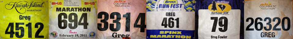
My previous two marathons were away from home and did not afford me the chance to run any sections before hand. They were also really flat – Kiawah Island and Myrtle Beach. This race, though, is just down the road and will have more hills than I care to see in one day.
The other week, my buddy Craig and I traveled to downtown Columbia, and with map in hand, set out to preview the route. We ran the loop once, and when we finished, I can’t say that I was super excited. Don’t get me wrong, I liked the route and the scenery, but my thoughts were more like “Oh crap, this is going to hurt”. This is one hilly loop. And we get to do it twice! Here’s the elevation map, courtesy of the official web site:

If you have run the Governor’s Cup half marathon in Columbia, then some sections of this race will look familiar. In fact, the loop is very similar to the Governor’s Cub, just in reverse. So, instead of up Blossom, you get to go down. Instead of down Gervais St, you get to go up.
The race will start and end in the Vista area of Columbia, near the Columbia Convention Center. We’ll travel through the University of South Carolina, Shandon and Lake Katherine areas, slog up Trenholm Rd and Gervais St, weave back through USC, do it again, and then finish up at the Convention Center. In my opinion, there are two brutal sections of this course. The first is a a 4 mile stretch that starts just past miles 7 & 20 where the course bottoms out at Lake Katherine. You must then climb Trenholm Road and Gervais St. You get a brief break as Gervais nears Milwood. Then the second rough spot it is up Gervais St. for a half mile or so starting just past Harden St. and ending with the left turn onto Pickens St. At the point, we’ll be entering the USC campus area again, and I’m hopeful there will be a crowd pick-me-up.
Click here for the course description on the official site.
Weather A Factor?
Besides the hills, a race date of March 10th has me slightly concerned. This has been a mild winter, and I’m a afraid Famously Hot Columbia might rear its ugly head with some heat. My February 2011 Myrtle Beach Marathon heated up too much and caused me problems toward the end. This race is weeks later, so we’ll see. The 7:15am start should help. On the other hand, we’ve had snow and ice in mid March, too!
Strategy & Goal Time
As you can see from the elevation map, there is not much flat to this course. Since the hills will kill my pace, the strategy will be to let loose on the downhills. This has led to problems in the past, so I’ll have to be careful. When I first thought about running a 3rd marathon, I wanted to improve upon my last marathon time of 3:47, maybe approach 3:40. Well, after experiencing one loop of this course, I am resetting my expectations. I will be extremely happy if I break the 4 hour mark.
Wish me luck!
POFIFOTO!
Related Posts
-
 Race Preview: 2013 Outer Banks Marathon
Posted on Nov 7, 2013
-
 Race Preview: 2013 Jailbreak 5K
Posted on May 21, 2013
-
 Race Preview: 2013 Columbia Marathon
Posted on Mar 6, 2013
-
 Race Report: 2013 Lexington Race Against Hunger
Posted on Feb 24, 2013
Tags
Share This


